Squamish • Whistler • Pemberton • Sea to Sky
Aerials that show a property, a project or a place in its setting: the mountain behind it, the water beside it, the whole picture. For real estate, developers, construction progress and outdoor brands, flown from Squamish across the corridor.
What I shoot from the air
The Sea to Sky is built for the view from above: granite walls, fjord, glaciers, forested valleys. Whether it’s a listing, a development or a brand story, here’s what I fly.
Lot, acreage, neighbourhood and view for listings across Squamish, Whistler and Pemberton. Bundled with interior and exterior photos for one booking. Real estate photography.
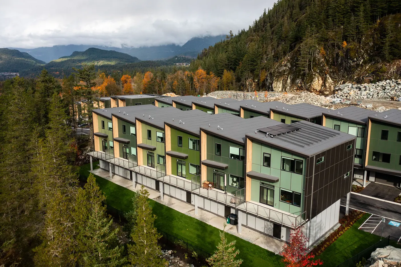
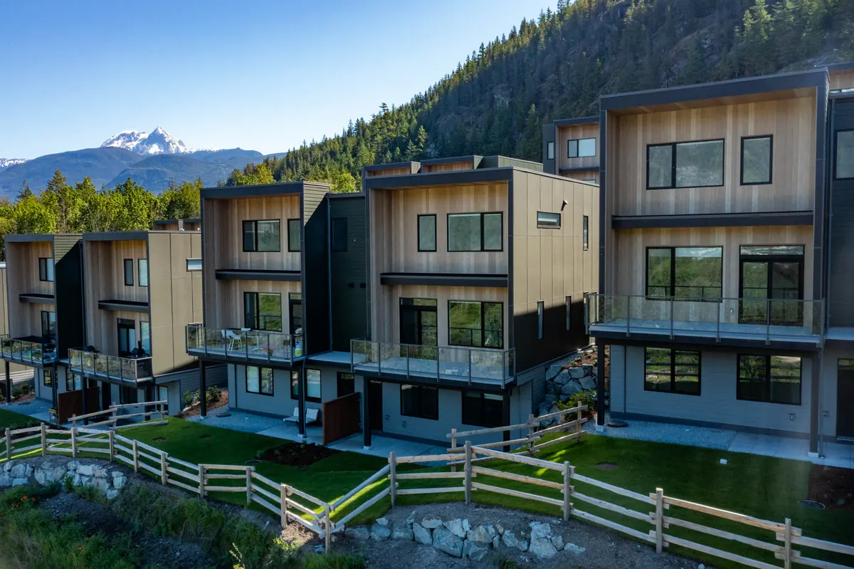
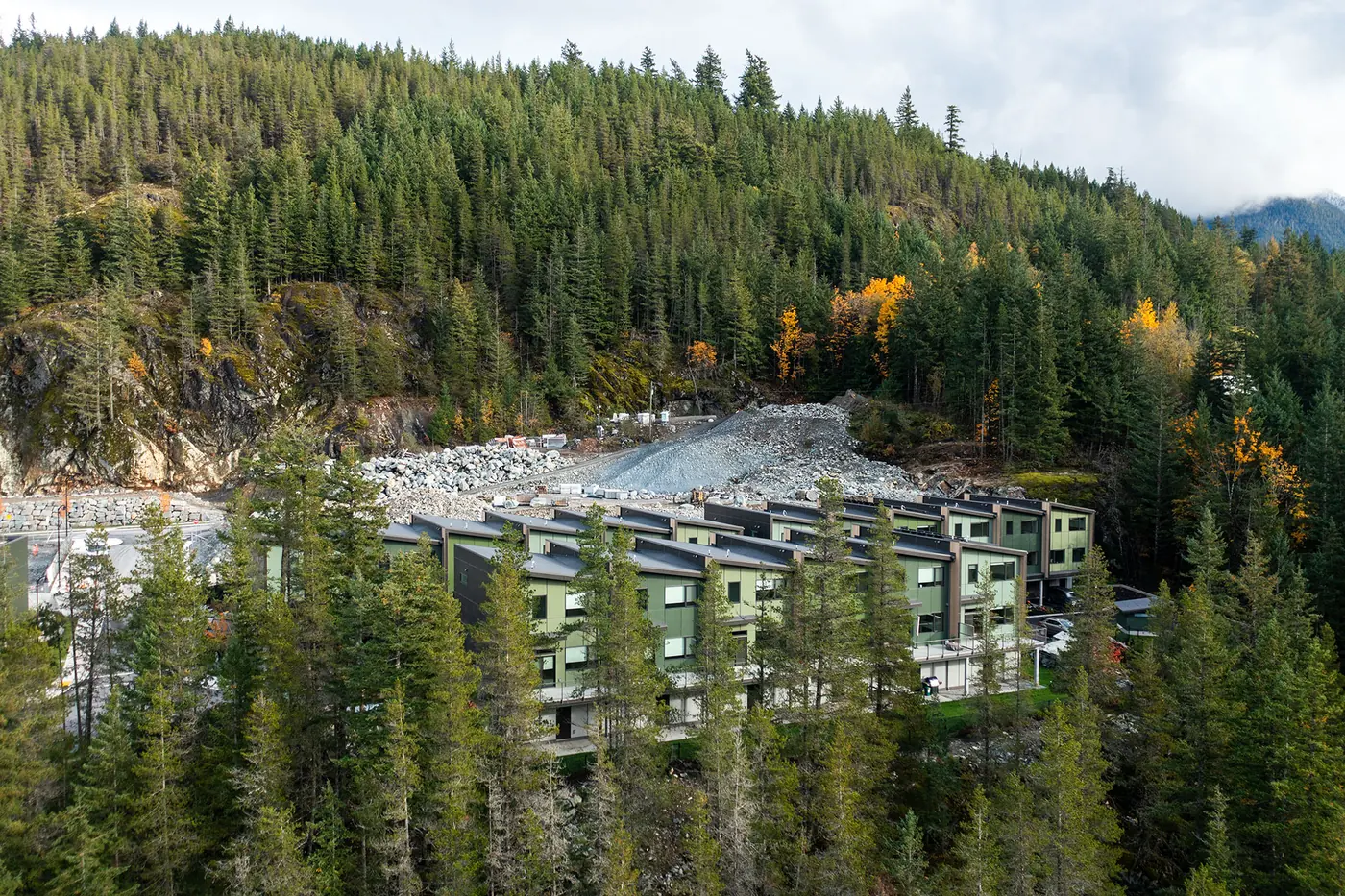
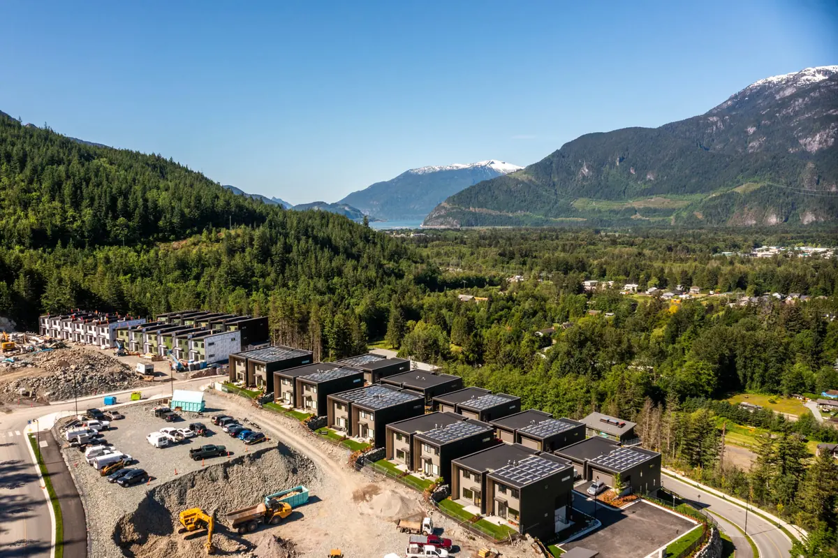
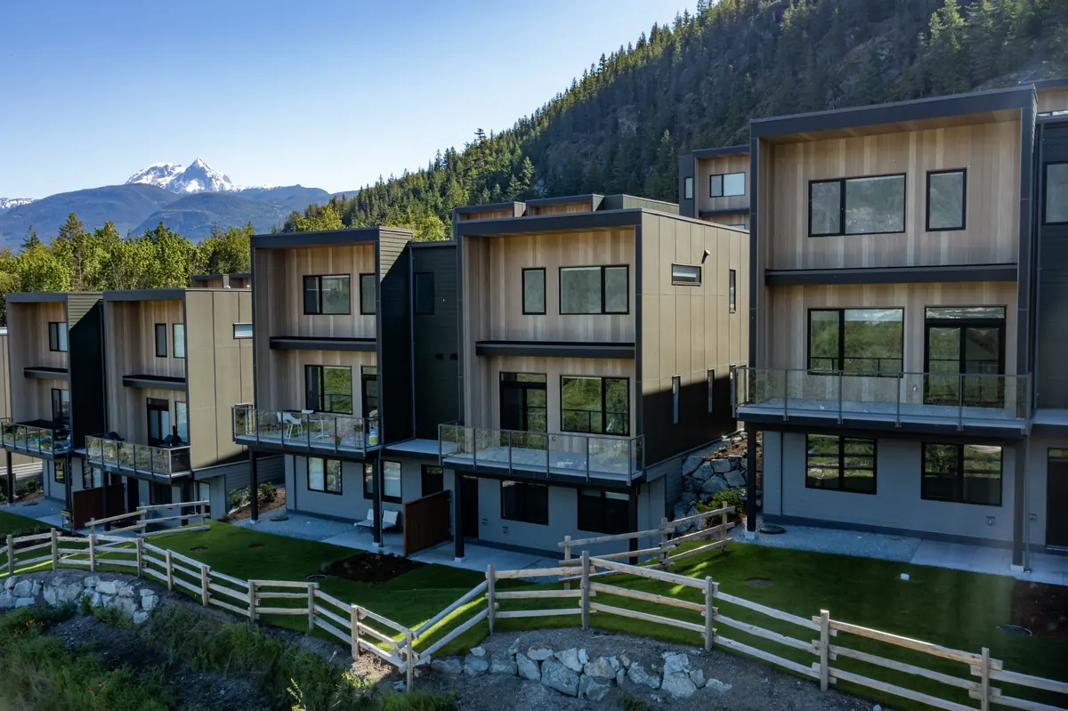
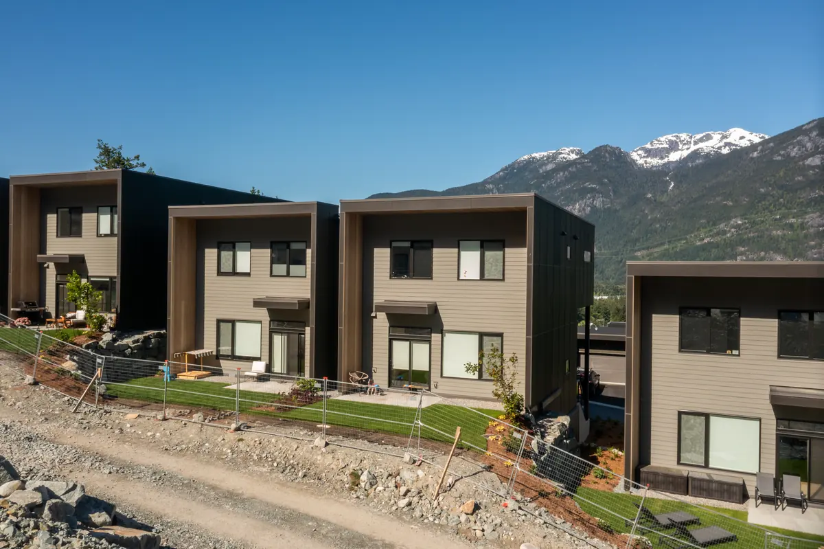
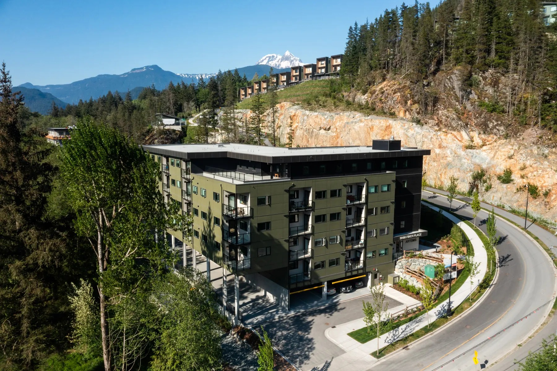
Hero shots of finished buildings in their landscape, top-down site views, and the context buyers can’t see from the street.
The same vantage points on a schedule, from site prep through framing to finished building, for investors, lenders, marketing and your own records.
Photos from the exact height of each floor, so buyers see the real view from the 1st, 3rd or 5th storey before the building is complete.
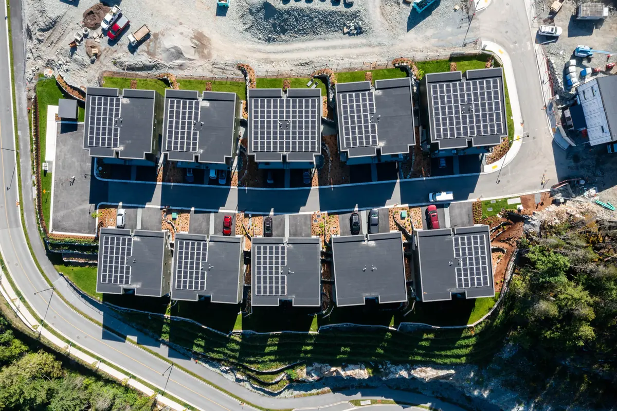
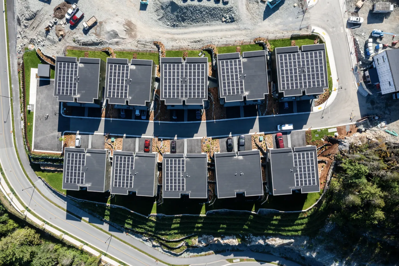
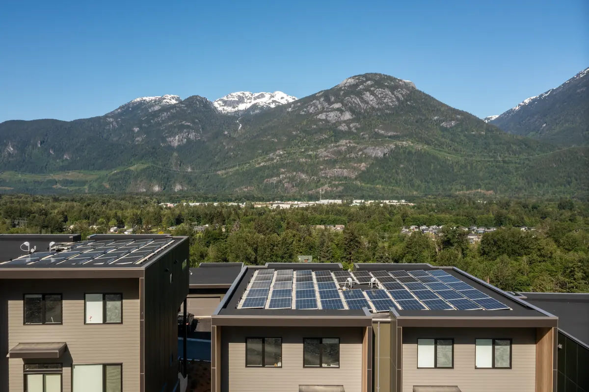
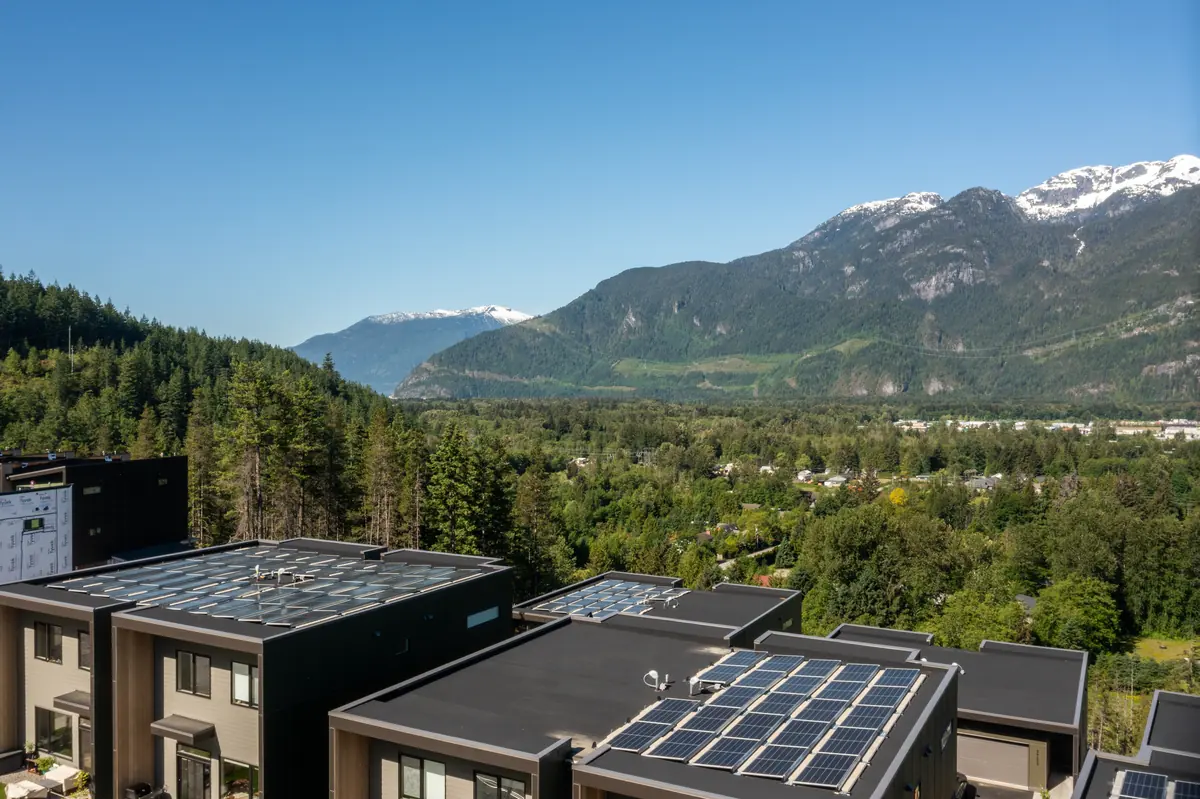
Top-down shots of roofs, solar arrays, drainage, parking and site layout, useful for planning, marketing and documentation.
Waterfalls, trails, lakes, resorts and events. I’m an adventure photographer first, so aerials come with an eye for story and light. See my motion work.
Aerial work
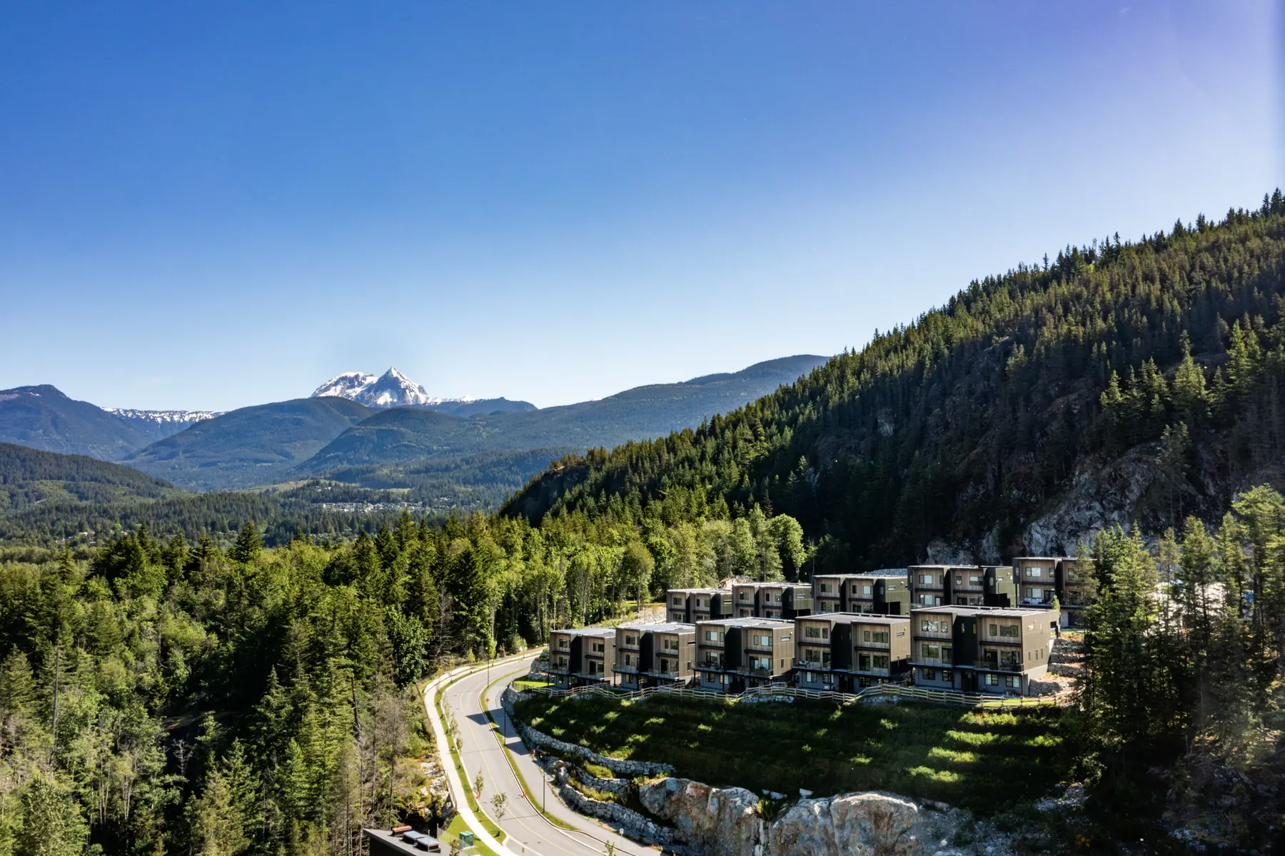
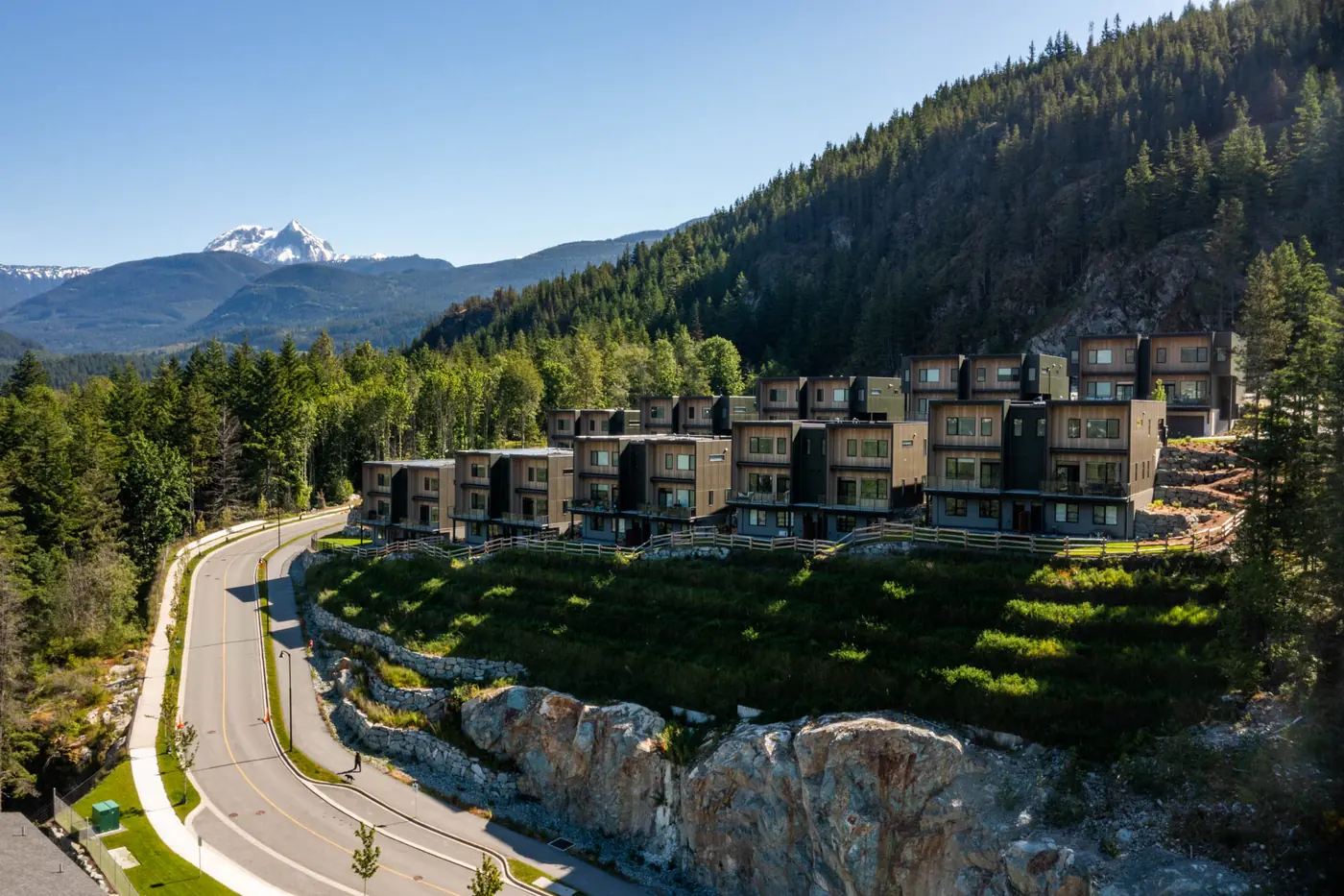
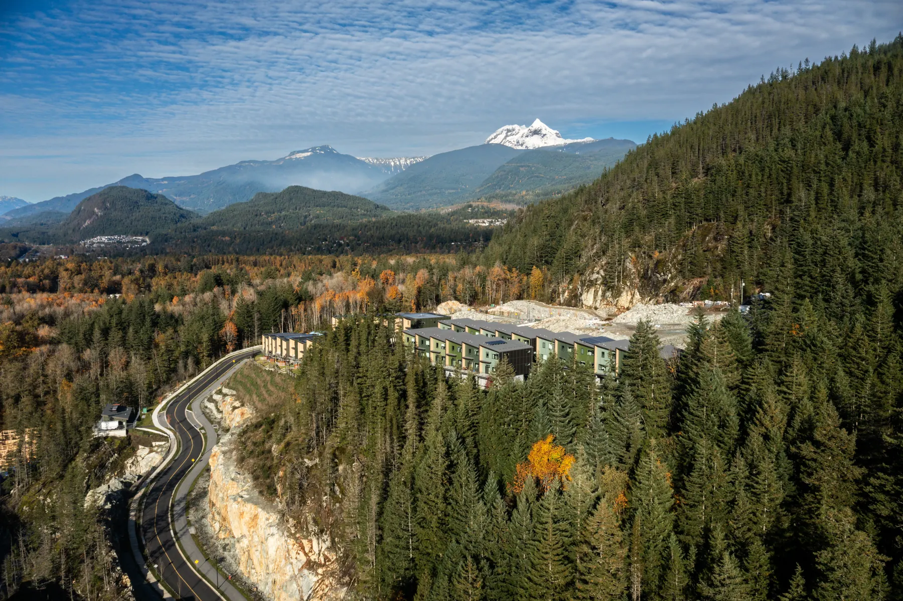
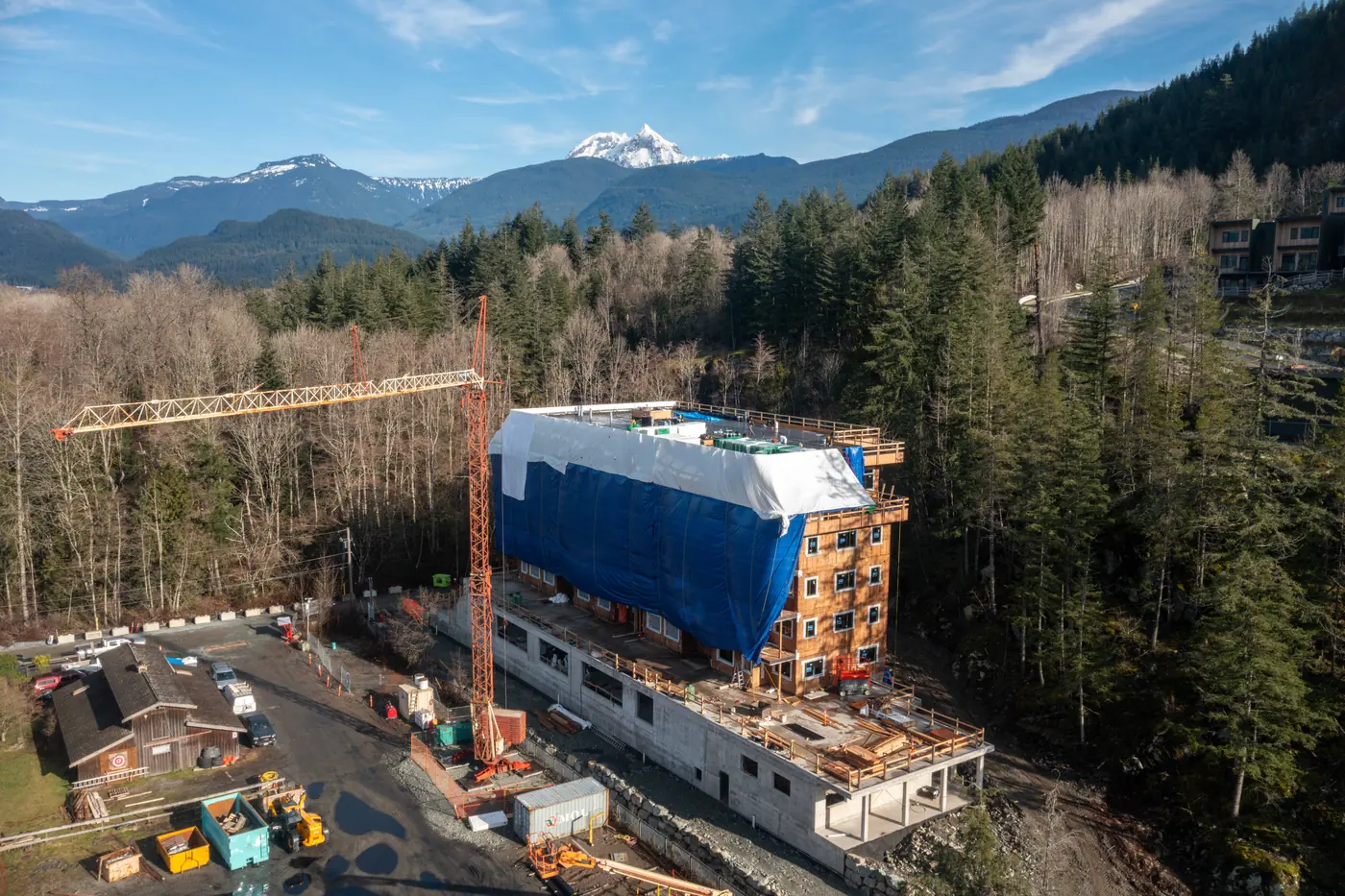
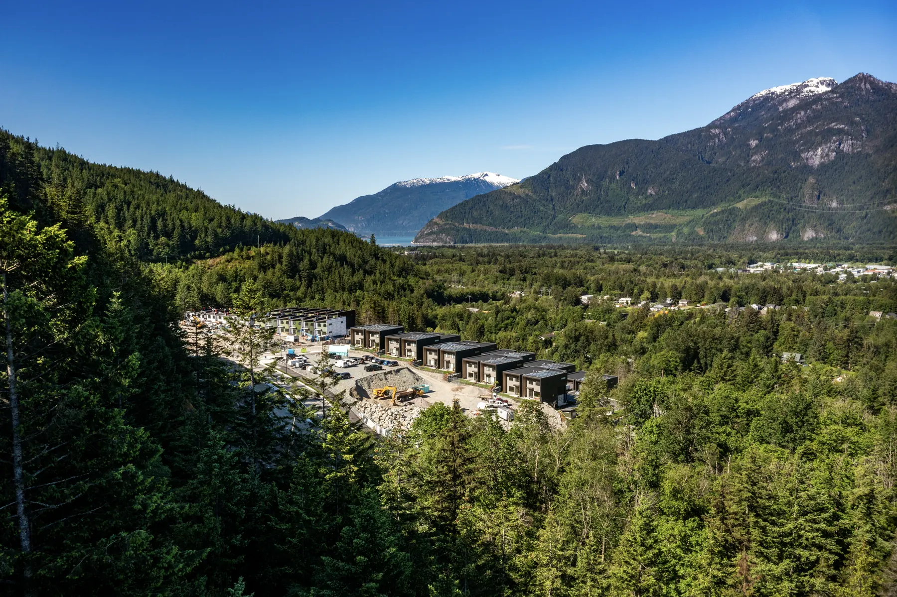
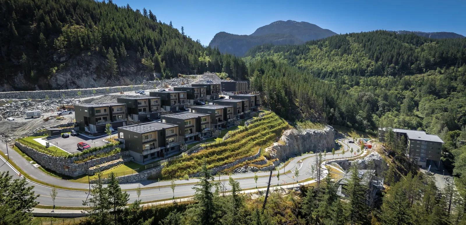
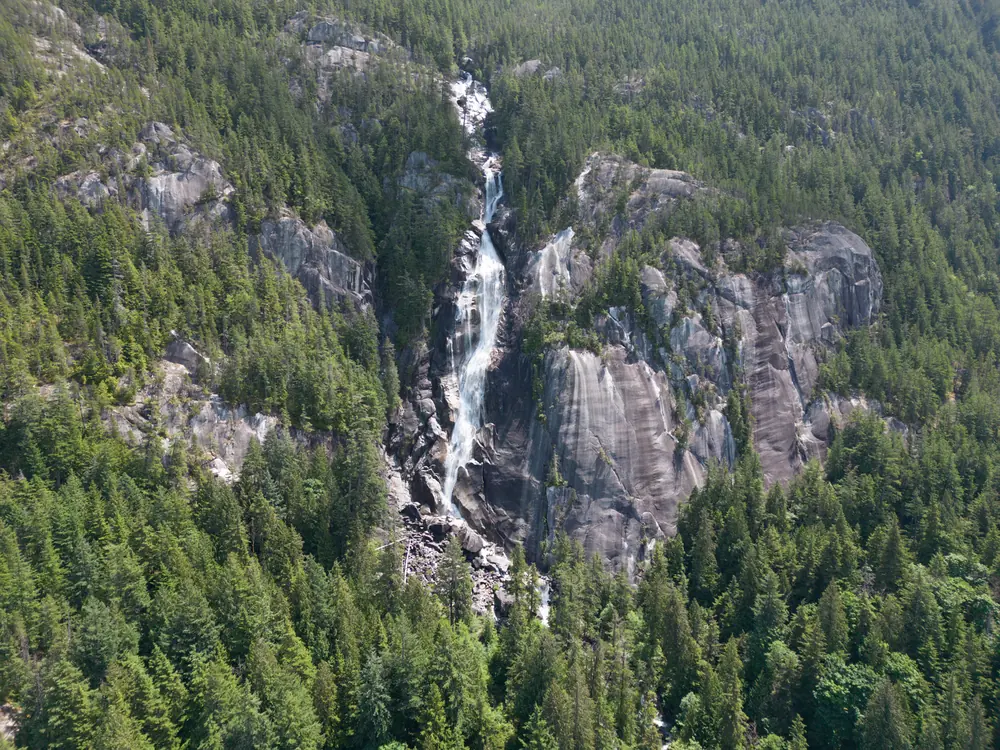
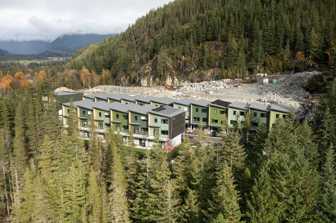
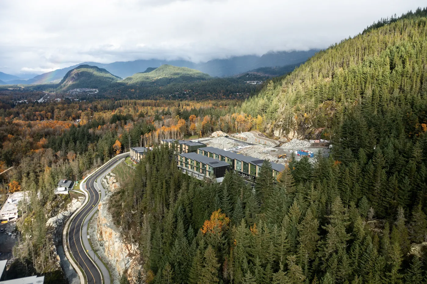
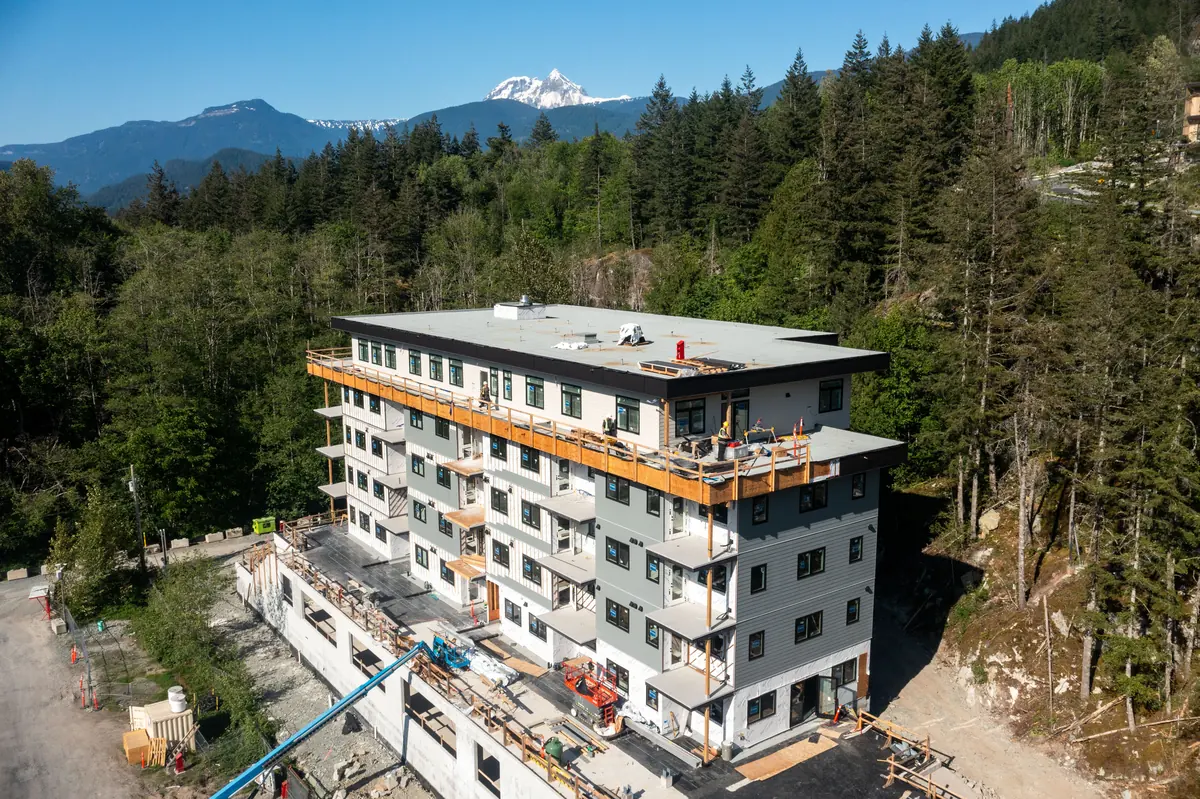
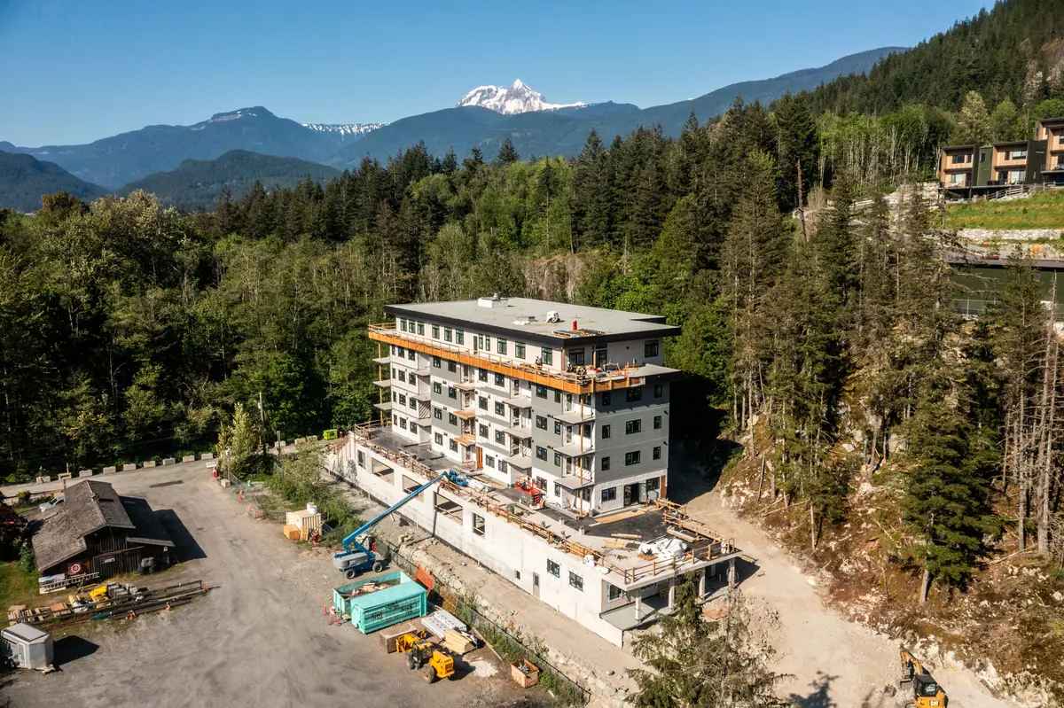
New-build condos and townhomes in Garibaldi Highlands, from construction stages to finished buildings, plus a landscape aerial from around Squamish.


Looking for ground-level interiors too? See my real estate photography.
View studies
Same spot, three heights. A view study lets buyers on a presale or new build see what the 1st, 3rd and 5th floor will look out on. Below, the mountains and the Squamish valley as they appear at each level.


Developers and presale teams: ask about view studies for your project.

Foundation, crane, framing, envelope, finished building. A consistent set of aerial photos, flown from the same positions each time, becomes a visual record you can use for investor updates, lender draws, marketing and the final reveal.
Service area
From the Howe Sound fjord to the Pemberton Valley, flown by a local who knows the terrain, the light and the rules.
Garibaldi Highlands, Brackendale, the estuary and Howe Sound, Shannon Falls and the Stawamus Chief all sit within a few minutes of my doorstep. Great terrain and light, with plenty of land-access rules to respect, which I handle up front.
Chalets and ski-in/ski-out homes, resort and hotel marketing, events, and mountain-bike or ski content. Airspace and crowds matter here, so I confirm what’s possible at your location before booking.
Acreage, farms, equestrian properties and valley views backed by Mount Currie. Large lots are exactly where aerial photos show buyers what a ground-level shot can’t.
Oceanfront and view properties, plus the fjord itself. Aerial photos of the water, the islands and the Sea to Sky Highway make these listings and brand stories stand out.
Vancouver and the North Shore by arrangement. Every location is checked for airspace and access first.

Flying a drone commercially in Canada isn’t just pointing and shooting. Before I book a flight I check:
If a location isn’t workable, I’ll tell you up front and suggest another way to get the shot. Details in my guide to flying a drone in the Sea to Sky.
How it works
Send the address or site, what you want captured, and your timeline.
I confirm the rules, permissions and weather window, and quote the job.
Timed for the best light, with the shot list agreed in advance.
Colour-graded files in a private online gallery, ready for listings, web and print.
Questions
I’m based in Squamish and fly across the Sea to Sky corridor: Squamish, Whistler, Pemberton, Lions Bay, Britannia Beach, Furry Creek and Mount Currie, plus Vancouver and the North Shore by arrangement. Every location is checked for airspace and access first.
It depends on the location, the number of shots or the length of video you need, and whether it’s a single flight or a series like construction progress. Send me the address or site and what you’re trying to capture and I’ll send a quote.
You need to follow Transport Canada’s drone rules, get permission from the landowner, and respect airspace and park restrictions. Many provincial parks restrict drone launches without a permit, and flying in controlled airspace or close to people needs additional authorization. I check all of this before booking a flight, and I’ll tell you honestly if a location isn’t feasible. See my guide to flying a drone in the Sea to Sky.
Often it’s possible, but it depends on airspace, bystanders and the specific location, and sometimes it needs extra authorization. Tell me where and when, and I’ll confirm what’s feasible before you commit.
A DJI Mavic 3 with a four-thirds Hasselblad camera, shooting 20 megapixel RAW stills and high-resolution video. That means clean files in low light, strong dynamic range for bright skies and dark forest, and detail that holds up in print.
A view study is a set of photos taken from the exact height of each floor of a planned or under-construction building, facing the same direction. It lets buyers see the view from the 1st, 3rd or 5th floor before the building is finished. It’s a popular tool for presale marketing.
Yes. I fly the same vantage points on a schedule, weekly, monthly or at key milestones, so you get a consistent visual record for investors, lenders, marketing and your own archive. The crane and framing images on this page show construction stages at a Squamish development.
Yes, and it’s the best way to book. Interior and exterior stills, drone aerials and video can all happen on the same day. See my real estate photography page.
Areas I serve
Dedicated pages for each community, with local property types, drone considerations and logistics.
Tell me the location and what you’re capturing. I’ll confirm what’s possible and send a quote.
Get a Quote