A listing photo can only show so much
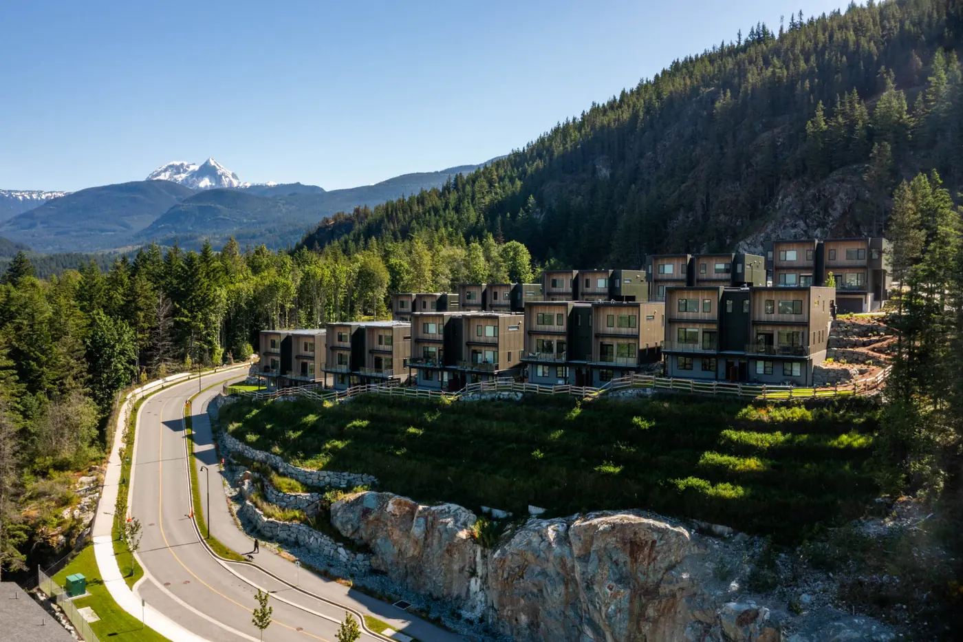
Interior photos show the house. They can’t show where the house is. In the Sea to Sky, where is half of what buyers are paying for: the mountain at the end of the street, the trail behind the lot, the river or fjord nearby. A drone photo answers those questions in one frame, which is why aerials are some of the most clicked and shared images in a listing. Here’s when they earn their place and what to ask for.
When aerials make the biggest difference
Acreage and large lots (Pemberton, Mount Currie, the Squamish Valley)
On a property with outbuildings, pasture, trees or a creek, ground-level photos can’t show how the land lies. An aerial shows boundaries, access and the size of the lot, and the mountains behind it.
Views from above (Whistler, Squamish, Howe Sound)
For a house with a view, a photo from deck height or just above shows what the buyer will actually see, in good light, without the interior glare of a window shot.
Neighbourhood context
Buyers want to know how close the property is to trails, a school, a lake, shops and the highway. A single wider aerial can show it faster than a paragraph of copy.
Waterfront and oceanview properties (Lions Bay, Britannia Beach, Furry Creek)
The water, the islands and the road along the fjord are the selling points, and they’re hard to capture from the ground.
New builds and developments
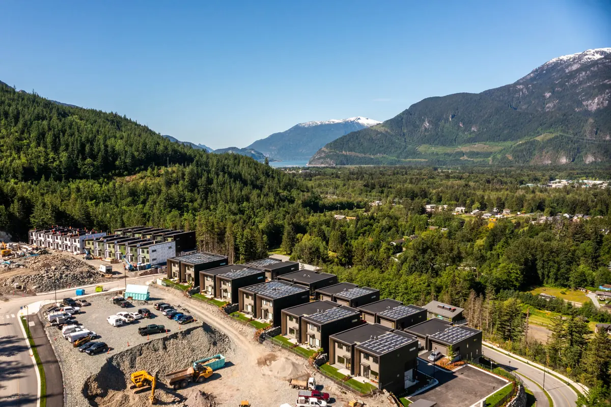
Hero shots of finished buildings in their setting, top-down site plans, and view studies from the height of each floor help presale and new-build marketing before every unit is finished.
Which aerial shots to ask for
- Hero angle: an oblique view of the home with the surrounding landscape, usually the lead photo.
- Lot overview: a higher, wider view showing boundaries, parking and outbuildings.
- Top-down: a straight-down image for lot shape, roof condition or solar.
- Neighbourhood context: pulled back to show nearby amenities and landmarks.
- View from height: the outlook from the upper floor or deck, if the property has one.
When to shoot
Soft, low-angle light looks best, so early morning or the hours before sunset are ideal. On a bright, clear day the mountains and water are at their most striking, but a few clouds add depth. In winter, clear snow from the driveway and roofs where you can. In summer, keep lawns tidy and park cars away from the front of the house.
Keep it honest
A good aerial shows the property in its real setting. It shouldn’t make a lot look bigger than it is or hide a neighbouring building. Buyers appreciate honest context, and it protects you as the agent or seller.
What about rules and permits?
Drone photography needs a certified pilot, a check of airspace, and permission from the landowner. In a corridor with provincial parks, airports and resort areas, that matters. Read my guide to flying a drone in the Sea to Sky for the details.
Book it with the rest of your listing media
The easiest way to get aerials is to book them with interior and exterior photography on the same day. See my real estate photography for examples from a Squamish new-build show home, or get in touch for a quote on your property.